|
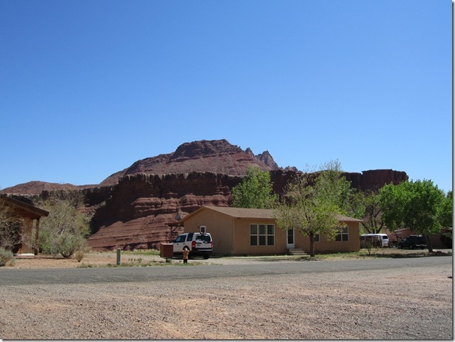
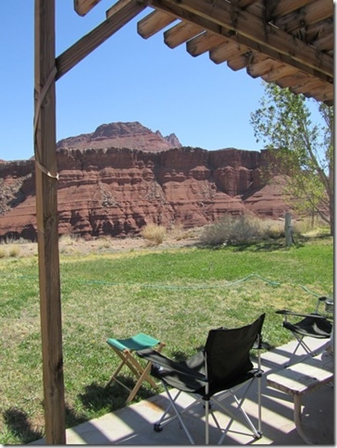
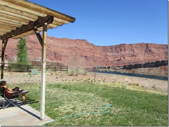
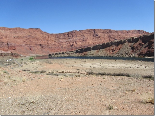
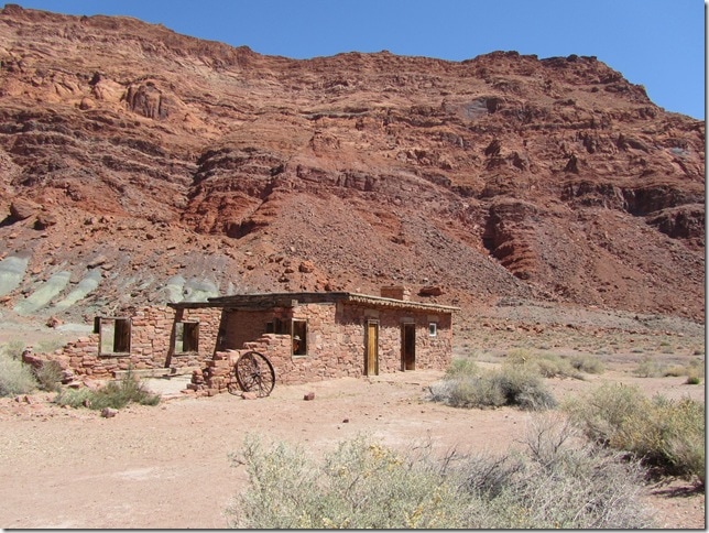
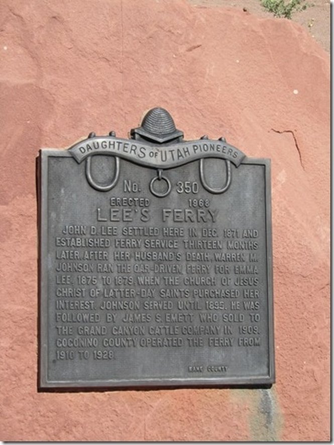
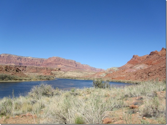
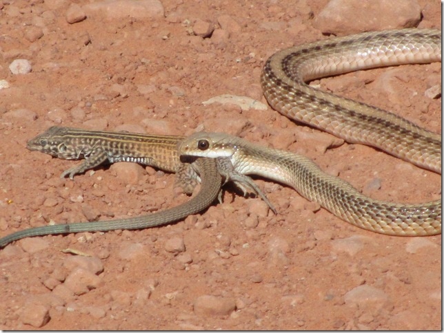
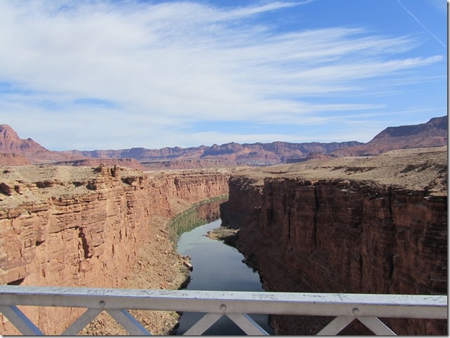
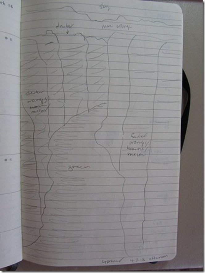
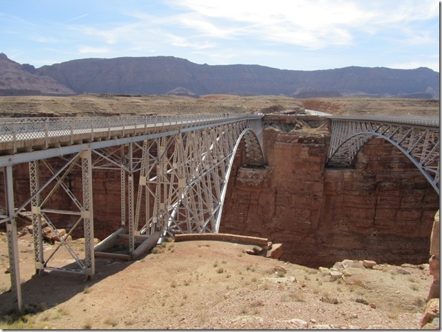
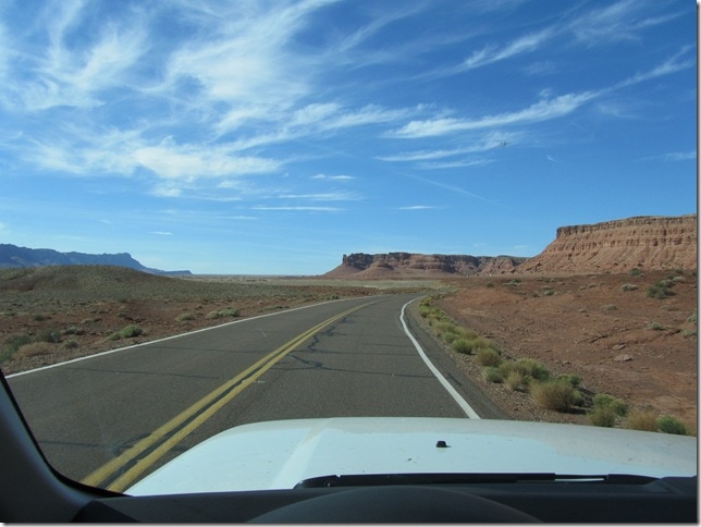
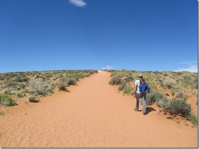
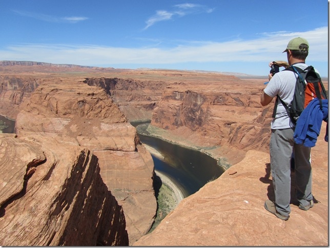
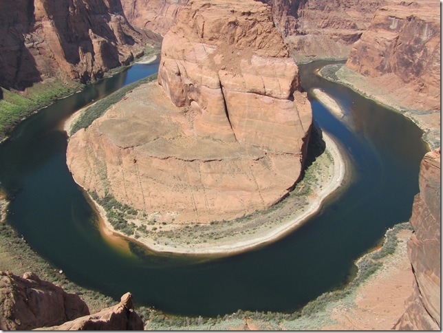
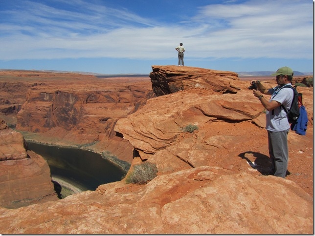
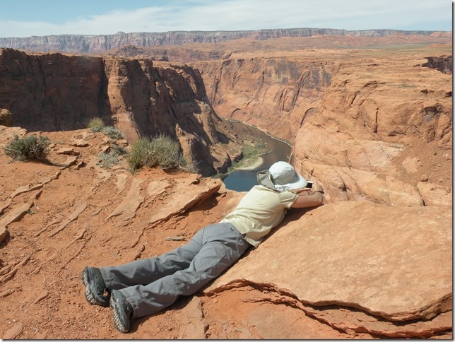
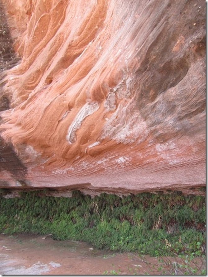
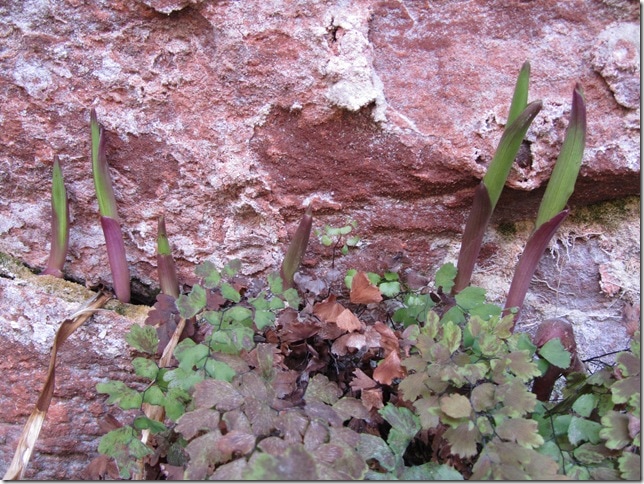
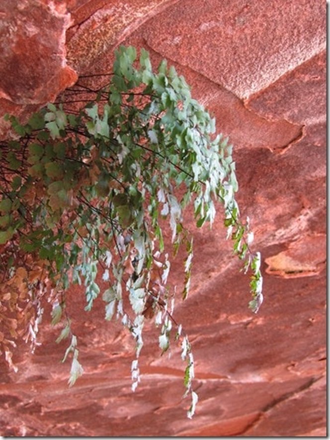
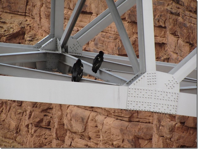
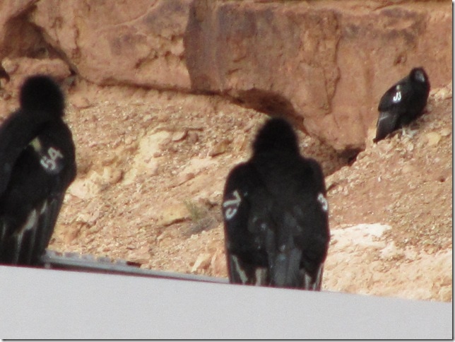
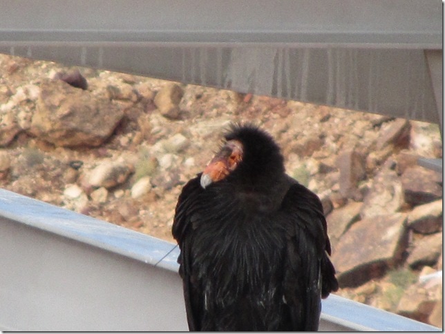
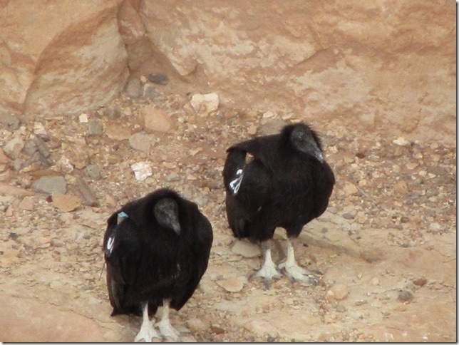
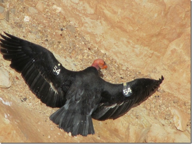
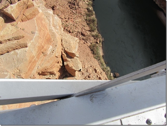
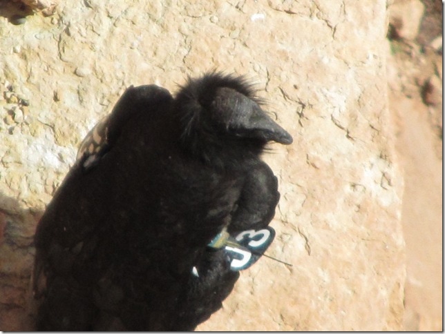
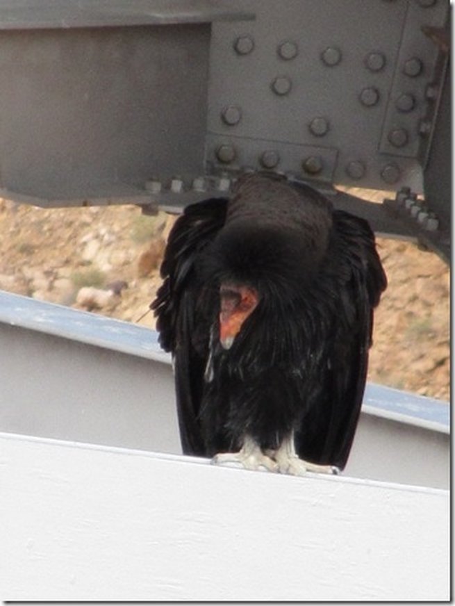
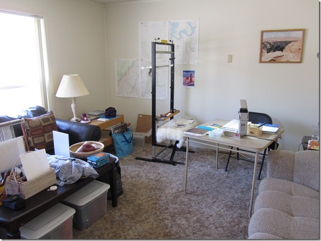
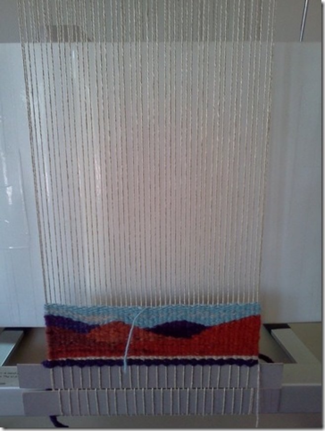
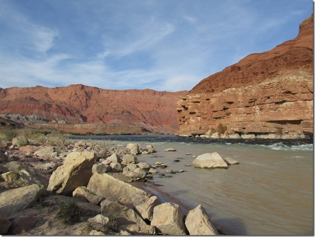
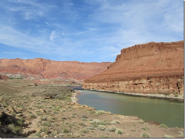
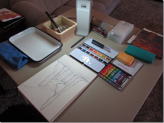
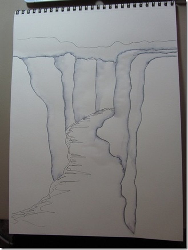
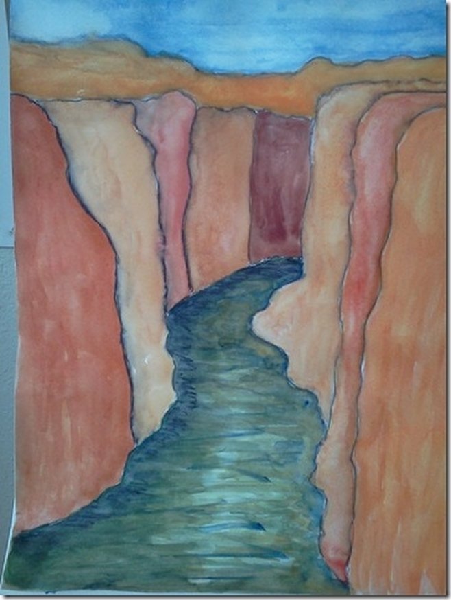
4.2.12 - 4.7.12 I have been living here in the Park at Lees Ferry now just a little over a week & am feeling settled in. The Glen Canyon area is rich in beauty, history, & controversy… the beauty of the desert surrounding Lake Powell; the history of early exploration by both the Spanish & Americans; the history of Native peoples both ancient & contemporary who call this land home; the history of early western travel, transportation, & mining; the controversial damming of the Colorado River in the 1960s to form Lake Powell. After the dam was completed, it took 10 years to fill Glen Canyon & many of its “feeder” canyons to create the vast lake which comprises a major portion of the area maintained by Glen Canyon National Recreation Area. The house where I am living (& which I share with another Park employee) sits on a bluff overlooking the Colorado River about 15 river miles below the dam. If you were traveling on the river & continued past here, you would flow first through Marble Canyon & then enter the Grand Canyon from the east. To the northeast upriver I can see Lees Ferry & the boat ramp where river trips launch from; directly east across the river are the slanted cliffs known as Lee’s Backbone where early travelers on horses, in wagons, & on foot accessed the ferry run by John Lee to cross the river; to the southwest is the view towards the Marble Canyon area & Lees Ferry campground perched on a little hill; to the west is the east face of the Vermilion Cliffs. Dennis was with me during my first five days here. On the first full day we drove to Page, the nearest city almost an hour away, to meet with my Ranger, Michelle H., & plan my time here. I am considered a Park Volunteer & must fulfill 120 hours of work. In my case, as the Artist-in-Park, work consists of anything related to my pursuit of art-- including hiking, sightseeing, sketching, painting, weaving-- along with doing at least one public program 1 hour in length & roving at large in my volunteer uniform shirt in the hopes of having interactions with visitors. I am largely autonomous & can plan & record my own time. Michelle & I scheduled two structured programs that will last 3 hours each at the Park’s two lower lake Interpretive Centers—Navajo Bridge (at the Navajo Bridge) & the Carl Hayden Visitor Center (at the Lake Powell Dam). During these programs I will demonstrate tapestry weaving using my student Shannock & visitors will be encouraged to try weaving on a sampler warp on my smaller Mirrix loom. Michelle gave me many suggestions as to where to spend the remainder of my time… I can simply hike, take my portable watercolors out & about, or set up a surprise plein air weaving studio with the two looms. In addition, I can also hop a ride upriver with a Park employee to hike to petroglyphs accessible only by river, & I will go for a boat ride uplake one day with Michelle & other Park personnel to visit Rainbow Bridge National Monument, the world’s largest natural stone arch. It is as tall as the Statue of Liberty & is a sacred area located on Navajo Nation lands. The rest of last week Dennis & explored my new habitat so I could start to plan my artistic adventures. I also wanted to meet the Park employees at the two Visitor Centers who would be helping me set up for my programs, & I had to find a subject for my demo tapestry. Here at Lees Ferry there are several nice hikes not very far away; there are a couple more along the way to & at the Park’s Wahweap unit (on the lake near Page). Our first hike was the River Trail, which starts at the Lees Ferry historic site & meanders upriver along the Colorado for about a mile. To be near water again, seeing it, hearing it, smelling it, was wonderful. Lees Ferry was established in 1873. The remnants of the buildings at the ferry site, which were cobbled together out of chunks of the same sandstone that the surrounding cliffs are composed of, were interesting to explore, reminding us that life used to much harder than it is now in the 21st century. We are mere marshmallows compared to the people who lived then! The ferry, actually a rude barge of sorts, was the only location to cross the Colorado for hundreds of miles… the sheer, deep canyon walls made it impossible elsewhere. Here, because the cliffs relented just a bit, travelers were able to scramble down a hardscrabble of rock to get to the river’s edge & the ferry. Once here, they hoped to survive the ferry crossing itself. Now the biggest danger at the ferry site seems to be if you happen to be an unlucky lizard who crosses paths with a hungry snake… The rest of the day, we tooled around the Lees Ferry area, scouting out possible sites where I could do some future impromptu sketching, painting, & weaving with the hopes of encountering Park visitors. At Navajo Bridge, as I looked upriver, I realized that view was what I wanted to interpret as a tapestry for my demo work. I had my camera, but part of my hope for this residency was to continue my quest to loosen the rigid realism in my work. The only other thing I had with me was my planner & a mechanical pencil, so I did a rough sketch & made simple notes about the colors I was observing. The original Navajo Bridge, from where I was sketching, was built to replace Lees Ferry in 1929. A more modern bridge was built just downriver to replace it in 1995. Now the original bridge, on the left in the photo below, is open only to pedestrians as a viewing area. The next day, we drove over to the Page area, intent on visiting several places: Horseshoe Bend, the Carl Hayden Visitor Center which overlooks the dam, & Hanging Gardens. Horseshoe Bend is a fabulous geological feature that is an easy hike through red dunes from the highway. Here, over eons, the Colorado has eaten away at the softer layers of rock & part of its downriver area is curling back to meet its upriver area… this is known as an “oxbow” & in time (geological, that is), the two areas will join & form a new path for the river to take. The oxbow curve will dry up, leaving the giant pedestal of rock in its center to stand isolated from the surrounding cliffs. I have seen many photos of Horseshoe Bend, but they do not compare to the breathless & indescribable experience of seeing it in person. It is a deadly beauty, though, one that makes my palms sweat & heart quiver even as I type this from the safety of the couch. The cliffs are towering & sheer… if you look closely above at the photo of Dennis taking a photo, you can see two little white specks in the middle of the river. Those are boats with several fisherman aboard. Over the years, visitors have tragically ended their lives here, either accidentally through careless behaviors or purposefully. Navajo Bridge shares the same infamy. I am very cautious when visiting sites such as this, but when I see people taking dangerous chances, I usually have to leave the area because it makes me extremely anxious. In the photo below, you can see Dennis in the foreground well back from the edge, but the gentleman in the background has climbed onto an exposed rock pedestal, flirting with disaster. The only way to see or photograph the entire oxbow is to perch on the edge, risking either tripping on the corrugated sandstone or having it crumble from underneath you, pitching you into the abyss. I prefer my version below… I couldn’t even bear to peek over the edge here, I just stuck my hands with camera over the edge & hoped for the best. Whew, I am feeling nervous just writing this! Next we visited the Visitor Center at the dam, where I met Cindy A., the Interpretive Ranger working there who helped me plan where to set up for my program. The building is perched above the dam, looking down on the river side of it… there is a long, curved indoor viewing area overlooking the dam with lots of natural light where I will set up my looms. Afterwards, just a short distance downriver from the Visitor Center, we took the hike to the Hanging Gardens, a short trek over slickrock to an overhanging cliff alcove whose spring fed walls & ceiling support a hanging garden of maidenhair ferns & other plants. Conditions must be just right for this natural phenomenon to occur… enough water, but not too much, some shade, but not too much, some sunlight, but not too much. It is a fragile mini-oasis tucked away in the dry, baked, sandblasted slickrock desert that surrounds it. As if this day was not already jammed with visual & visceral experiences enough, on our return home that evening while crossing Navajo Bridge we spied condors roosting in the cliff’s nooks & crannies next to the bridge. We excitedly made plans to return in the morning in the hopes of seeing the condors before they took flight. We did, & hit the condor jackpot… And as you can see we were successful!!! There was a mixed group of juvenile & adult condors, six in total. Juveniles have dark heads & lack the white feathers on the underside of their wings. They slowly start to develop adult coloration at about age 7. Condors, demonstrated in the photo of condor #54 in wing sunning posture above, need warm wings & warm updrafts to take flight for the day. Just like us, they need to loosen up before exercising. Thanks to an overcast, chilly morning, we were able to observe them & take photos for nearly 2 hours while I shook with excitement, cold, & fear. Luckily, most were under the traffic bridge at first & so were observable from the pedestrian bridge. Even from the sturdiness of the bridge it was hard for me to look downwards, either over or through the railing. When they began to fly back & forth from bridge to bridge & different areas on the cliffs seeking the best sunning spots, I was able to see their magnificent nearly 10 foot wingspan in action. The two photos below demonstrate the bridge’s height: First a photo of condor #J3 sitting on a ledge quite high above the river, taken without zoom (the little black speck is the condor)… Then zoomed in to the max that my little digital could muster… Condor #54 was my star, remaining on the bridge girders for the longest time, easily viewed & photographed until finally gliding under the pedestrian bridge & to a cliff ledge. I took video of the flight with my camera, but have been unable to figure out how to place it in this blog post at this time, unfortunately. During Dennis’ last day here, he went off on his own to hike about & explore the immediate area around the house & I worked on getting my “studio” in place, began warping looms, & started a teaching sampler on the smaller Mirrix. Later, we visited the nearby Paria Riffle beach, which is just downriver from where the house is located. It is the confluence of the Paria River, which flows out of Paria Canyon, & the Colorado River. The Paria’s milky silty waters mix with the emerald of the Colorado, causing the water to become the color of polished jade. Saturday, Dennis left to return home. I stayed in the studio all day, focused on finishing warping & created a watercolor study of my Navajo Bridge sketch to weave as my demo tapestry. Stay tuned, I will post again on my next hour long journey into town in seek of a wi-fi connection (saved by the public library!)
 This work by lyn hart is licensed under a Creative Commons Attribution-NonCommercial-NoDerivatives 4.0 International License. Comments are closed.
|
